HELPFUL LINKS FOR MONITORING THE WEATHER AND CLIMATE OF THE DURANGO AREA
DURANGO AREA
NWS Grand Junction office
NWS Forecast for downtown Durango (6601 ft))
NWS Forecast for Molas Pass (10522 ft)
WRF model from the Colorado Avalanche Information Center
Compilation of River Discharges in the Four Corners area
NATION
Current sea-level pressure
Current temperatures
Current wind speed and direction
Forecast map from NOAA

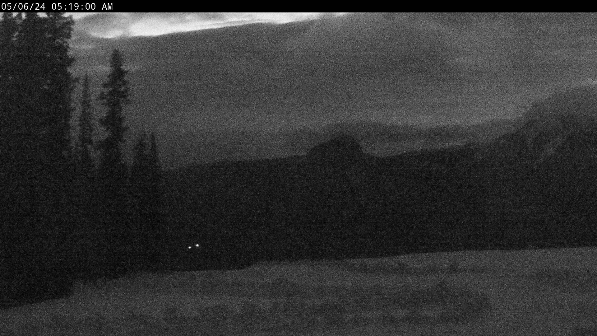
Webcam image looking ~west across Fort Lewis College Campus toward the La Plata Mountains Most recent webcam image from the top of Purgatory Ski Resort (courtesy Purgatory Resort):

Water-year to date (starting Oct 1) accumulated snow-water equivalent in the mountains of SW Colorado (courtesy NRCS):
Currently Unavailable.
